Task 6.3 projects

Electrical Resistivity Tomography (ERT) as a tool for investigation of subsoil in fault zone

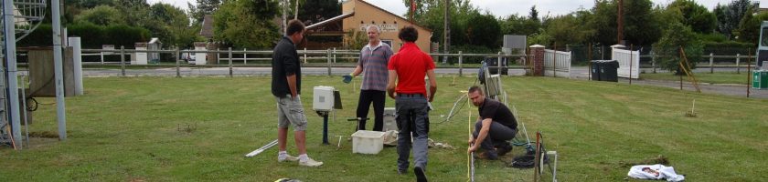
As part of « fault-fluids project » the HydroSciences Montpellier (HSM) laboratory is using some geophysical method to investigate in depth. Indeed, structure of fault zone has to be known to understand the flows rules in and through the fault. Thus, we crosscheck geological field data with ERT profiles. ERT method is very appropriate for our study because we can see structure […]

Read more

SHYDRO2GEO-Spatialisation of Hydrological parameters using geophysical and geostatistical methods

Research on the Critical Zone (CZ) is a prerequisite for undertaking issues related to exosystemic services that human societies rely on (nutrient cycles, water supply and quality). However, while the upper part of CZ (vegetation, soil, surface water) is readily accessible, knowledge of the subsurface remains limited, due to the point-scale character of conventional direct observations. While the potential for […]

Read more