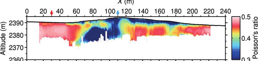
SWIP: An integrated workflow for surface-wave dispersion inversion and profiling
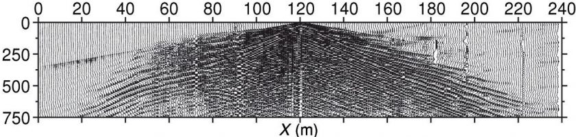
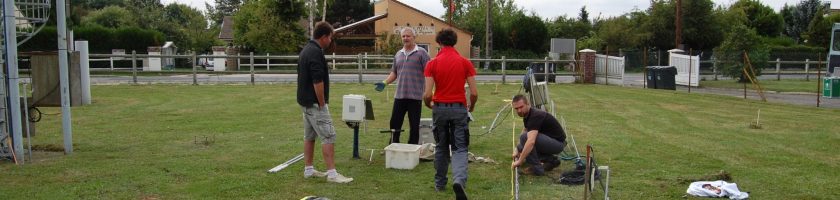
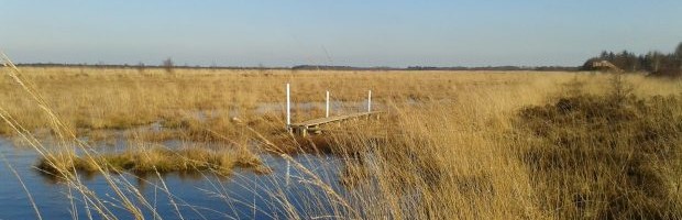
SWIP is a toolbox developed by Sylvain Pasquet, providing an integrated workflow for surface-wave dispersion inversion and profiling, recently successfully applied to the CZ imaging. A tutorial has been published in Geophysics: Sylvain Pasquet and Ludovic Bodet (2017). ”SWIP: An integrated workflow for surface-wave dispersion inversion and profiling.” GEOPHYSICS, 82(6), WB47-WB61. https://doi.org/10.1190/geo2016-0625.1 The code is available at the following link: […]
Read more