
WP 2.1 pictures
pyGrav is a Python-based open-source software dedicated to the complete processing of relative-gravity data. It is particularly suited for time-lapse gravity surveys where high precision is sought. Its purpose is to bind together single-task processing codes in a user friendly interface for handy and fast treatment of raw gravity data from many stations of a network. The intuitive object-based implementation […]
Read more
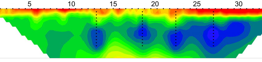
In France, 10 % of total arable land is equipped with subsurface drainage systems, to control winter and spring waterlogging due to a temporary perched water table. Most of these systems were installed in the 1980s and have aged since then and may now need maintenance. Sometimes, the location of the systems is known, but the standard situation in France […]
Read more
Sorry, this article is in french only! Download pdf
Read more
Sorry, this article is in French only! Go to the article in French
Read more
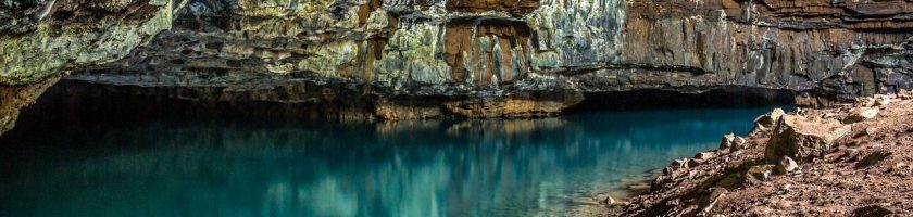
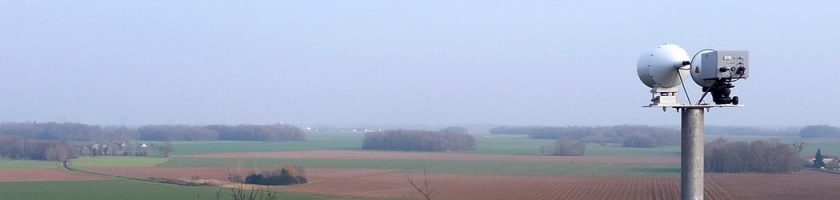
Research on the Critical Zone (CZ) is a prerequisite for undertaking issues related to exosystemic services that human societies rely on (nutrient cycles, water supply and quality). However, while the upper part of CZ (vegetation, soil, surface water) is readily accessible, knowledge of the subsurface remains limited, due to the point-scale character of conventional direct observations. While the potential for […]
Read more
WP 8.1 leader Professor Rennes 1 University Visit Luc web page Visit Luc Workpackage page
Read more